|
I am looking for photographs of the Northeast area before 1970. If anyone has pictures of the buildings
such as Wards, Velvet Freeze, the Elmwood Fire Department etc., please E-mail them to me and I will post them on this page.
Contact info:
_____________________________________________________
Below are some scans I made of an aerial photograph taken by
the Government on March 20, 1963. Some of the photos came out lighter than what I had hoped, but they're still not bad.
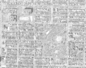
This photo shows NEHS, NEJR and Budd Park. Off to the right is Holy Cross Church and School and
Glennon High School. The top of picture is pointing West.
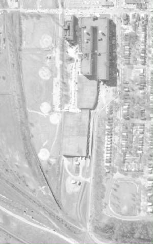
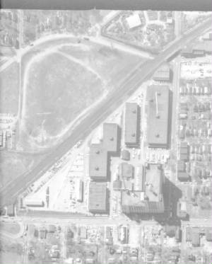
"Monkey" Wards with NE Athletic Field on the left. Indian Mound is shown on the lower right. The
top of picture is pointing South.
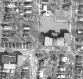
James School with Bethany Baptist Church on the lower left. Top of photo is pointing North.
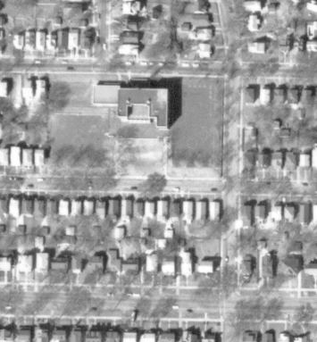
Gladstone School is shown with top of picture pointing North.
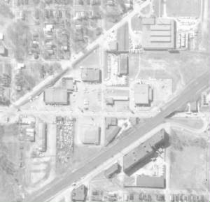
Cascio's food store is on the left. The shopping center with TG&Y, the laundromat and later
Godfather's Pizza is towards the top. In the upper right is Waids Restaurant. On the right is Katz Drug Store. On the bottom
is the All-Star Bowling Lanes. It later became Electronics Institute. I graduated from there with a Tech diploma in the 1970's.
It felt kind of funny to be sitting in a desk that was on what used to be one of the bowling lanes I bowled on. Top of picture
is pointing South.
The Government Record Center at Independence Avenue and Hardesty Street. On the far left you can
see Army trucks lined up. They also had tanks parked in that area. Top of picture is pointing South.
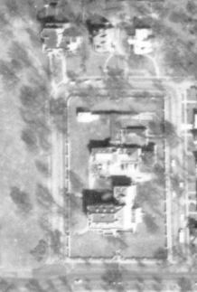
Kansas City Museum with the top of the picture pointing North.
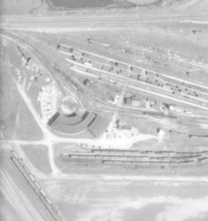
The old Missouri Pacific Railroad roundhouse. My dad worked for the MOP for 41 years, the last
30 in the NEFF yards in the East Bottoms. The top of the picture is pointing North.
|
